Image

Serbia and Lithuania
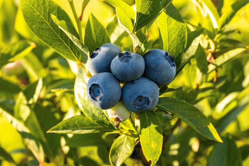
Demonstrate the potential of novel robotic solutions for blueberry farming in real farm operational environments, supported by advanced remote sensing, deep learning and decision-support techniques.
Image
A dual pilot set up will be conducted in two operational blueberry farms located in Serbia and Lithuania for demonstrating the utility, adaptability and scalability of the FlexiGroBots capabilities within different environmental, agricultural and market conditions.
In this case, UAVs and UGVs will work cooperatively to address different tasks and the needs of blueberry farms
- Early-stage blueberry disease detection: Drone captured field hyperspectral data and satellite images in combination with ML-based data analysis models will help to remotely identify fungal diseases at their early asymptomatic stage. Alternative, remote sensing could support the identification of potential problem areas in the fields with a precise and georeferenced blueberry plant status assessment made by a robot mounted with a proximal multispectral sensor.
- Automated field soil sampling and analysis: Using drone and satellite data to divide a blueberry field into management zones for determining soil sampling locations. Modular soil sampling tool, mounted on a robotic platform, will conduct on-site, georeferenced soil sampling, analysis and estimate main nutrient content in the soil. Analysis results will be uploaded to relevant decision support tools, helping farmers optimize fertilizer use and decrease environmental damage.
- Targeted and autonomous agrichemical spraying: The module for weed destruction will include the tank with herbicide, sprayers, and a camera which is used for detection of weed and positioning the sprayers with the help of machine vision and image processing. The treatment will be precise in order not to harm the blueberry and to accomplish significant saving in the amount of applied herbicide.
- Yield prediction: Yield will be predicted using machine learning, deep learning and conventional image processing algorithms applied on drone and satellite images. Yield maps from the end of the season are crucial for determining the fertiliser amounts for the following season and offer precious insight into the expected quality of produce.