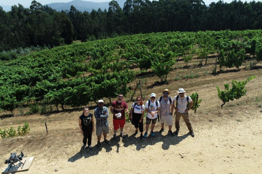
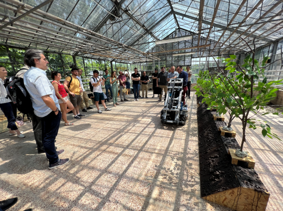
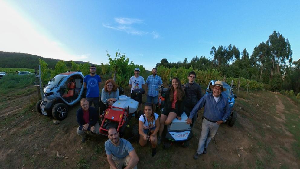
We are at a key moment for the development of the pilots, the multi-robot scenarios take place in the summer period, and the annual planning has been established to achieve all the objectives of the use cases… hard work for the pilots' colleagues (SERESCO, TERRAS, WU & CSIC).
First thing done, Terras Gauda’s plots were studied to determine which plots are most susceptible to the appearance of the Botrytis disease to determine which plots were best suited to the needs of the trials to be carried out for the development and validation of the pilot. To facilitate the flight of the drones, it was considered the size of the plots, as well as the inclination of the area, to verify the inspection and harvesting assistance work of the terrestrial robots.
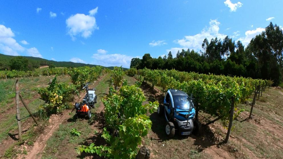
During the first two campaigns, aerial images were captured in the study plots, manually collecting the positions of those plants in which the presence of Botrytis was confirmed. This task facilitated the development of the tool capable of generate heat maps and NDVI vigor index, which are used to identify the areas with the highest probability of disease occurrence. Field tests have been carried out, verifying the correct navigation of the ground robots in charge of inspecting the plants and the harvesting assistants.
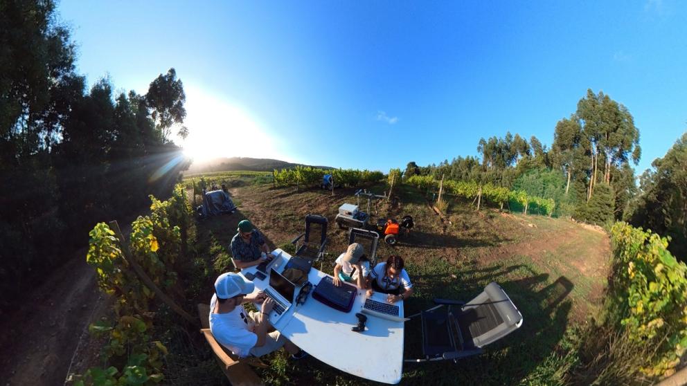
In August 2023, the final integration tests were carried out between all the components of the pilot and the geospatial services offered by package 3, as well as the communication used to share the images captured, to send and receive telemetry from the robots and to detect and communicate diseases in the grapes.
Once the tests were completed, the execution and recording of the August demonstration started:
- Selection of plots to be inspected in the FMIS platform.
- Aerial inspection of the selected plot.
- Generation of heat map, NDVI, ortho mosaic and Botrytis probability map, after processing the images captured by the drones. Storage of the generated files in MinIO, to offer the layers in the Open Data Cube and MapServer geospatial services.
- Displaying on the FMIS platform of the Open Data Cube and MapServer layers generated from the drone flights.
- Generation of the inspection map for the ground robots, based on the Botrytis probability map, to carry out a close inspection of the grapes.
- Ground inspection of the selected plot, photographing the grapevines to be inspected. Sending telemetry and images by MQTT.
- Image processing from the AI platform, storing images in MinIO and sending the result of the Botrytis detection algorithm by MQTT.
- Processing of telemetry collected through MQTT and position of ground robots on the map of the DSS platform in combination with display of the data emitted by the robot.
- Processing of the result of the Botrytis detection algorithm collected through MQTT, for display of the points where Botrytis has been detected with the image captured by the robot.
- Generation of the treatment map of the robots, based on the result of the Botrytis detection algorithm collected through MQTT.
- Navigation of the ground treatment robots to spray the grapes infected with Botrytis with phytosanitary products. Sending telemetry via MQTT.
- Processing of the telemetry collected through MQTT to visualise the location and route of the robots and to know when they are treating.
It has been possible to verify the correct operation of the weather stations installed in the Terras Gauda vineyards and their integration with the FMIS platform. The current conditions, forecasts and weather observations collected by the stations are shown and this data has been shared with the rest of the consortium through the IDS Connector of Pilot 1 FMIS. Regarding the geospatial services, the integration of services with the DSS platform has been tested, showing drone flight images shared through the Open Data Cube and MapServer, together with images from the Sentinel-2 satellite. As well as the location of the clusters where Botrytis has been detected.
Communication between all the pilot components has also been tested, using the MQTT messaging broker to send and receive information related to the robots, and using the MinIO platform where the files obtained from the drone flights, the images taken by the ground robots and the files with the results of the Botrytis detection algorithm are stored. This last type of files is used to update the MapServer layer that shows the Botrytis detection points.
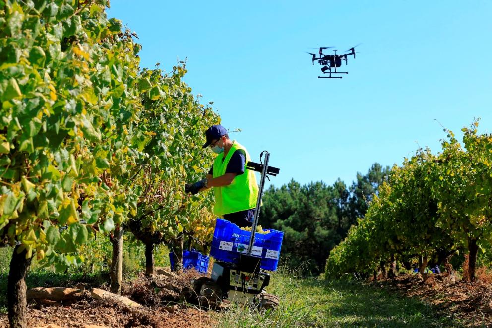
The final integration and verification of the rest of the components that compose the pilot, related to assisting the grape harvester during the harvest, is planned for mid-September. The communication between the ground robots and the DSS platform will be tested, where the route of each robot and the weight at each moment of the scales, where the grape picker will be placing the harvested grapes, will be displayed. A press conference has also been organised and the Galician media has been invited to inform about the details of the FlexiGroBots project and the progress of pilot 1, the benefits and results obtained from the work carried out during the years the project has been running.

